File list
From OpenSimulator
This special page shows all uploaded files.
| Name | Thumbnail | Size | User | Description | Versions | |
|---|---|---|---|---|---|---|
| 23:50, 28 August 2008 | OB40 sather tower vu ely.jpg (file) |  | 236 KB | Darb | (Long shot Ely of UC Berkeley campus with Sather Tower) | 1 |
| 23:49, 28 August 2008 | OB40 greek theater vu ely.jpg (file) |  | 194 KB | Darb | (UC Berkeley Greek Theater, site of many great performances over many decades) | 1 |
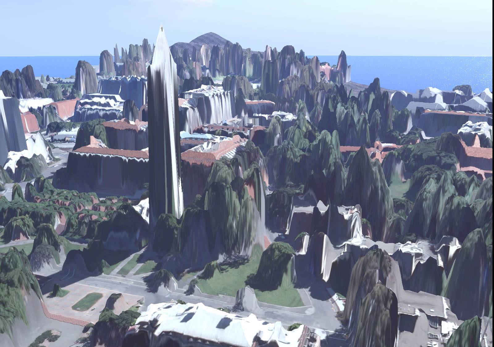
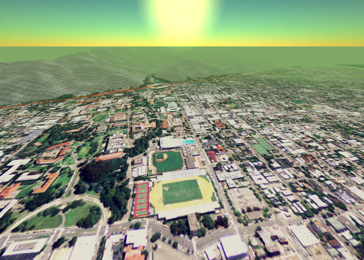
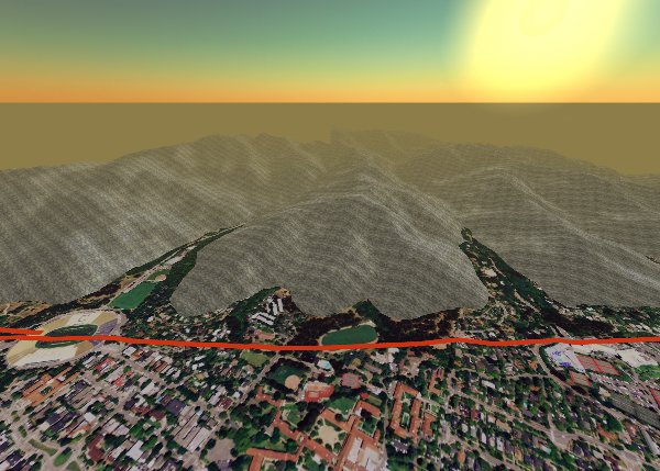
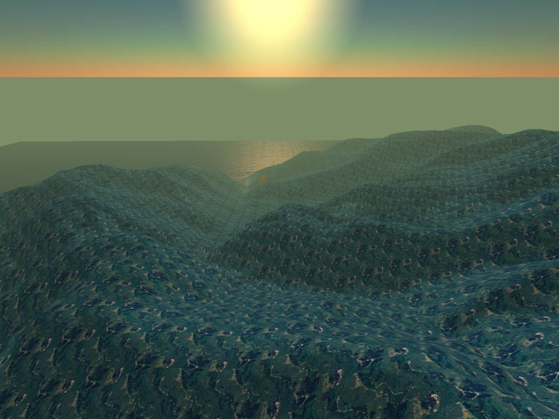
| 23:46, 28 August 2008 | OB40 Hearst vu ely.jpg (file) |  | 210 KB | Darb | (UC Berkeley north side, view Ely up Hearst, LiDAR megaprim sculpties shown in background with photo texture complete, but bumpmap not yet rezzed) | 1 |
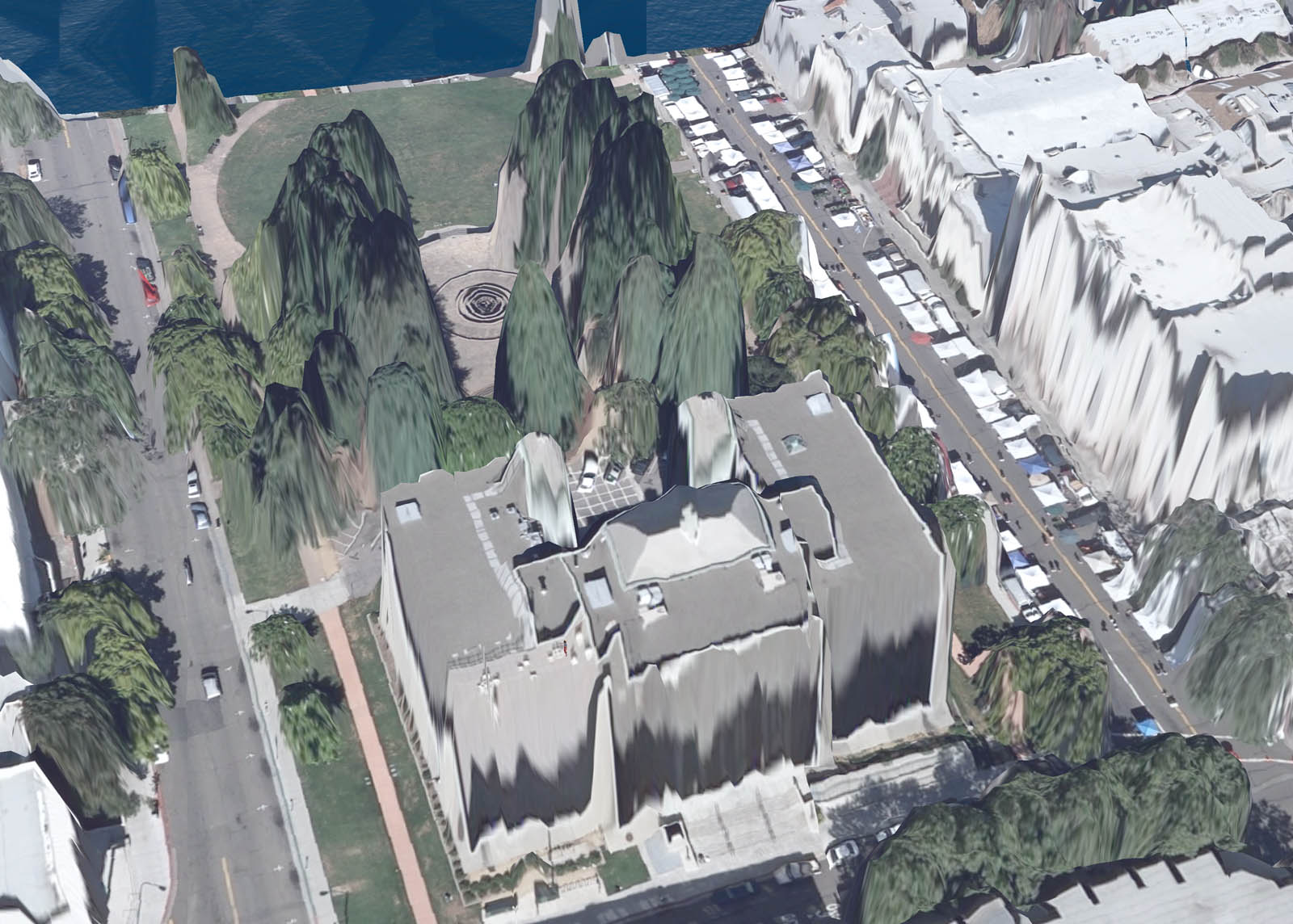
| 23:44, 28 August 2008 | OB40 civic center.jpg (file) |  | 264 KB | Darb | (Martin Luther King Jr. Civic Center building, Berkeley's city hall, view wly) | 1 |
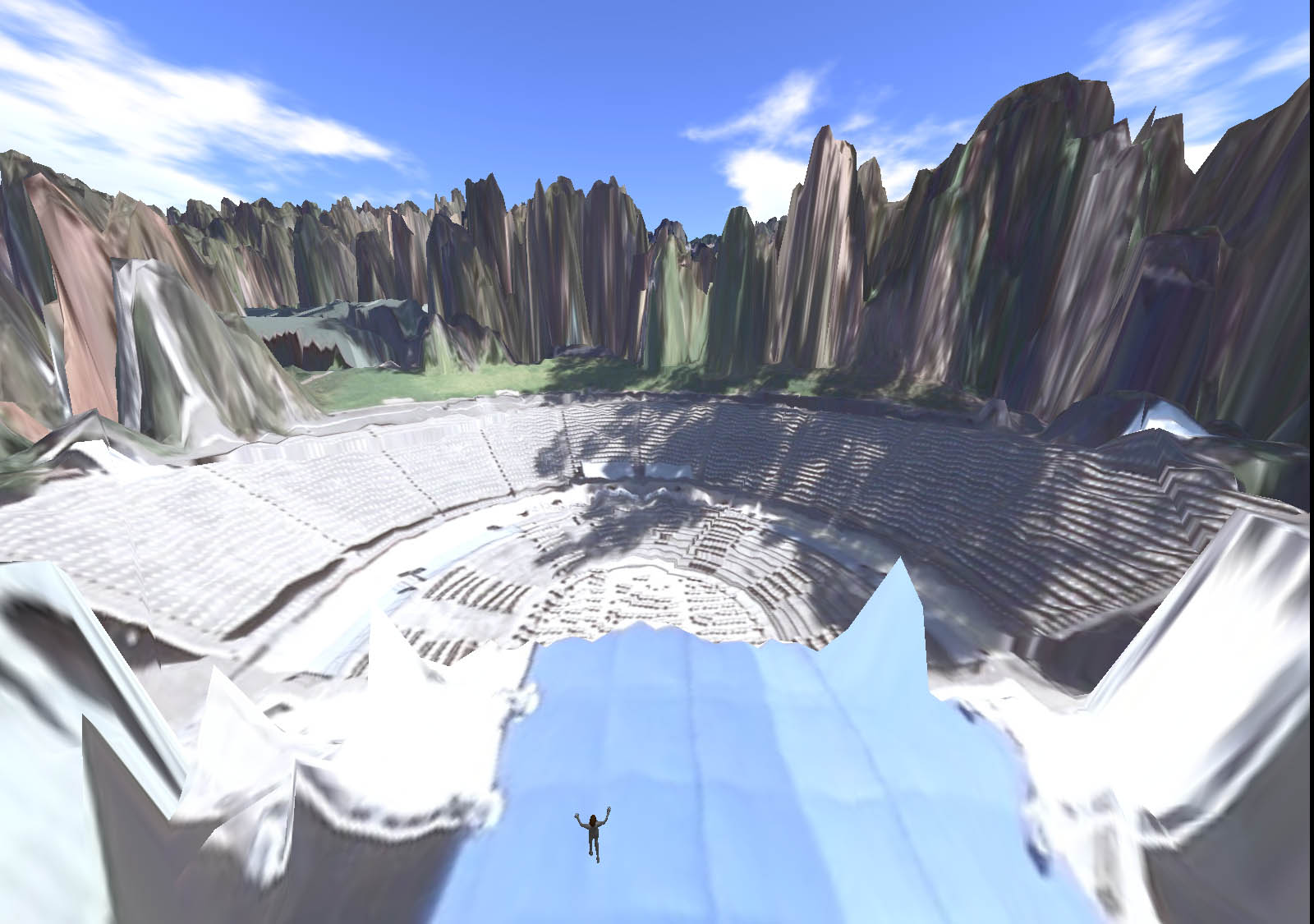
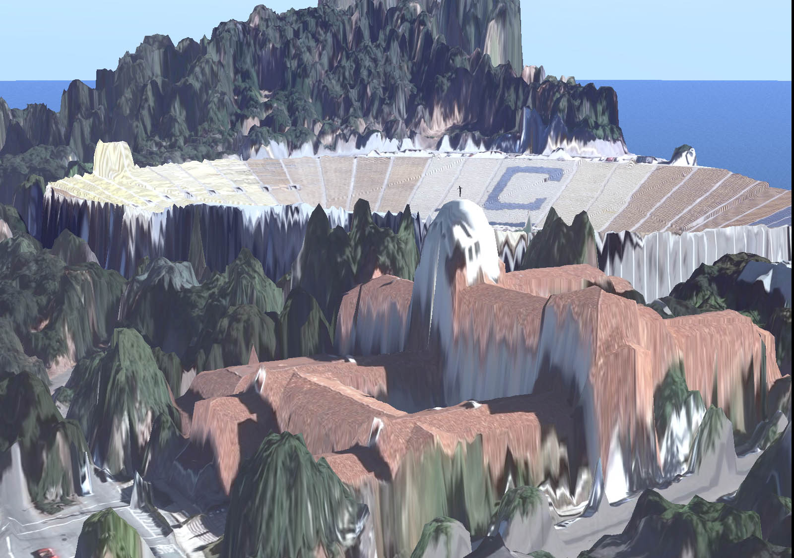
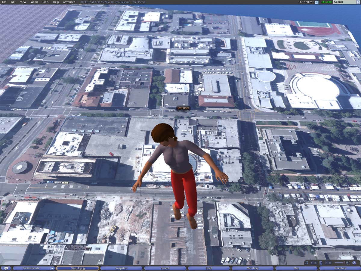
| 23:42, 28 August 2008 | OB40 I house vu nely.jpg (file) |  | 242 KB | Darb | (UC Berkeley International House, view NEly with California Memorial Stadium in background 1:1 model) | 1 |
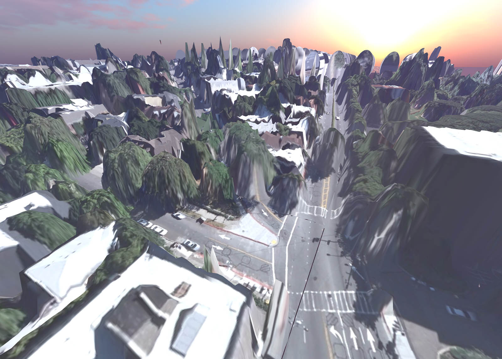
| 23:39, 28 August 2008 | OB40 shattuck center vu wly.jpg (file) |  | 182 KB | Darb | (Shattuck and Center, Berkeley, California Vicinity of Downtown Berkeley BART station built at 1:3 scale in Second Life Gualala region) | 1 |
| 01:05, 29 April 2008 | Ob40 20080428d.jpg (file) |  | 226 KB | Darb | (Yet another shot of current status: real-life megaprim sculptie terrain with 13-cm orthoimagery, all at 1.024:1 scale horizontally, 1:1 vertically. Imagery from 1 July 2006) | 1 |
| 01:03, 29 April 2008 | Ob40 20080428c.jpg (file) |  | 218 KB | Darb | (Real-life model 1.024:1 scale, of UC Berkeley environs. Natural true-scale terrain and orthoimagery) | 1 |
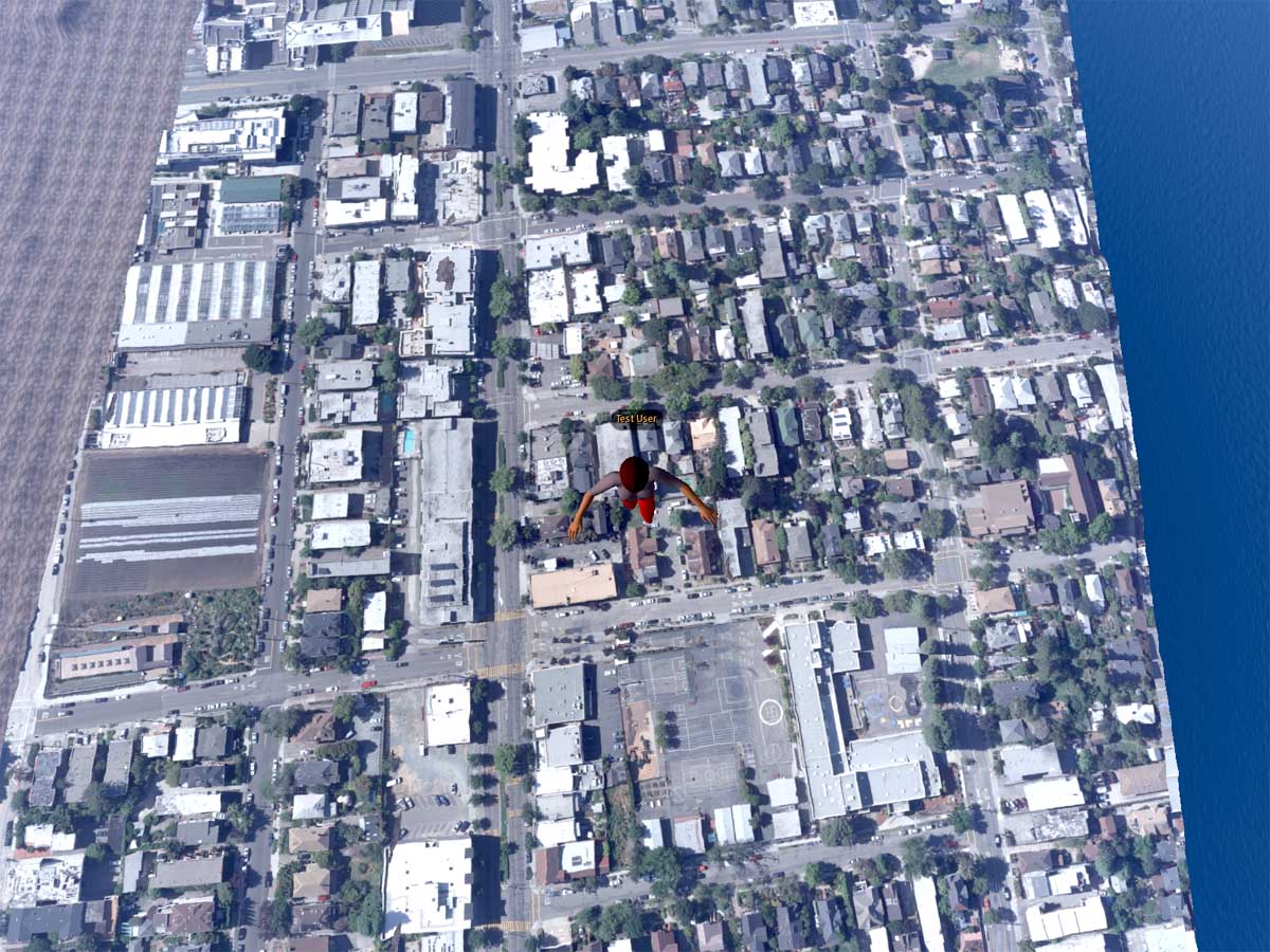
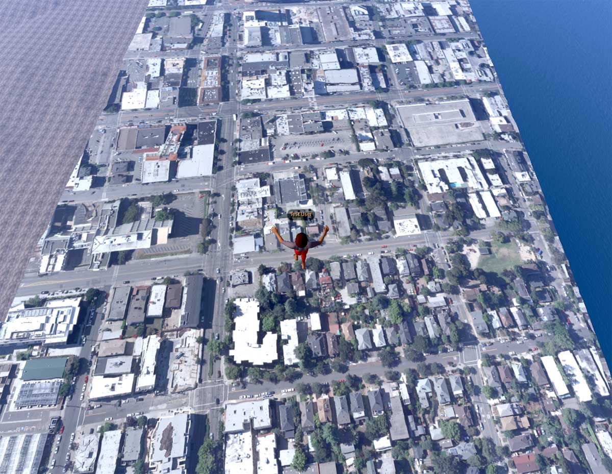
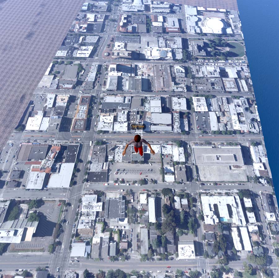
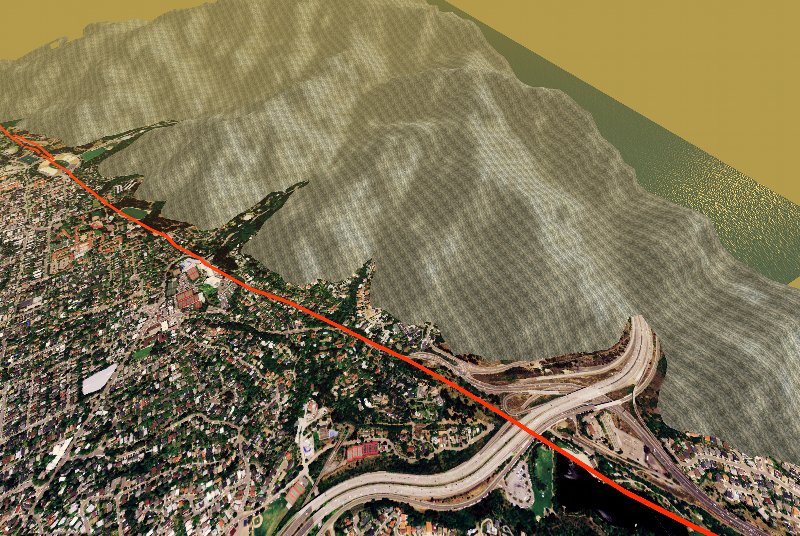
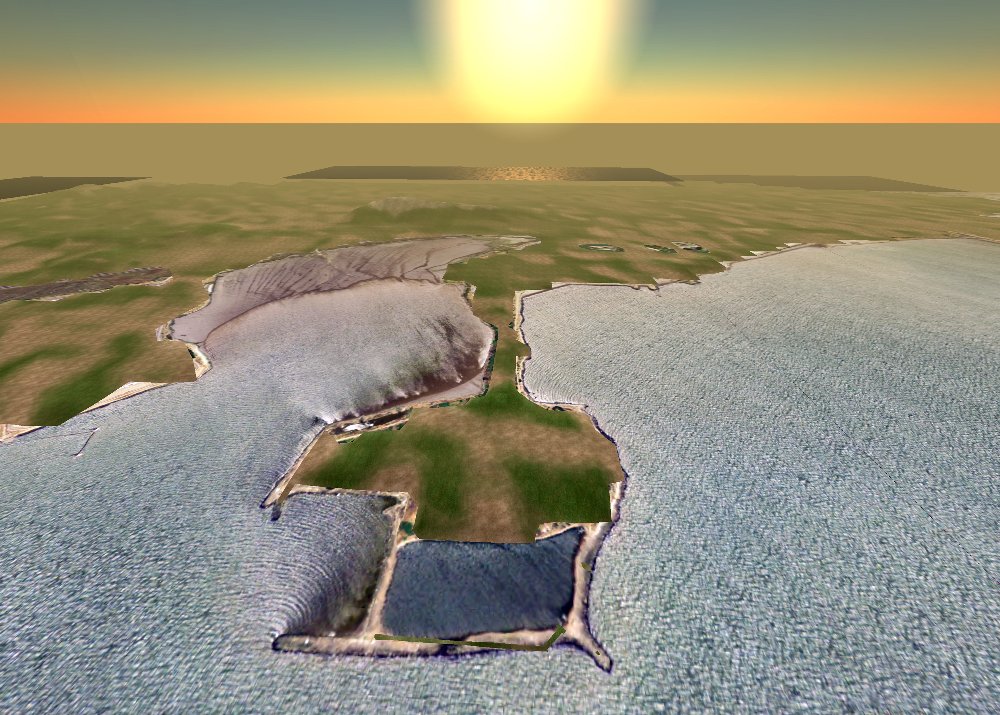
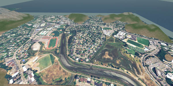
| 01:02, 29 April 2008 | Ob40 20080428b.jpg (file) |  | 197 KB | Darb | (40-region OpenSim model with real-life aerial photography at 1.024:1 scale downtown Berkeley, CA) | 1 |
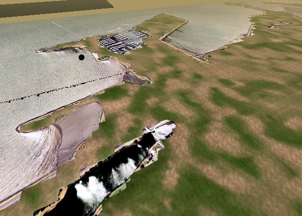
| 00:59, 29 April 2008 | Ob40 20080428a.jpg (file) |  | 229 KB | Darb | (OpenSim 40-region model with four terrain megaprim sculpties/region for 13-cm orthoimagery) | 1 |
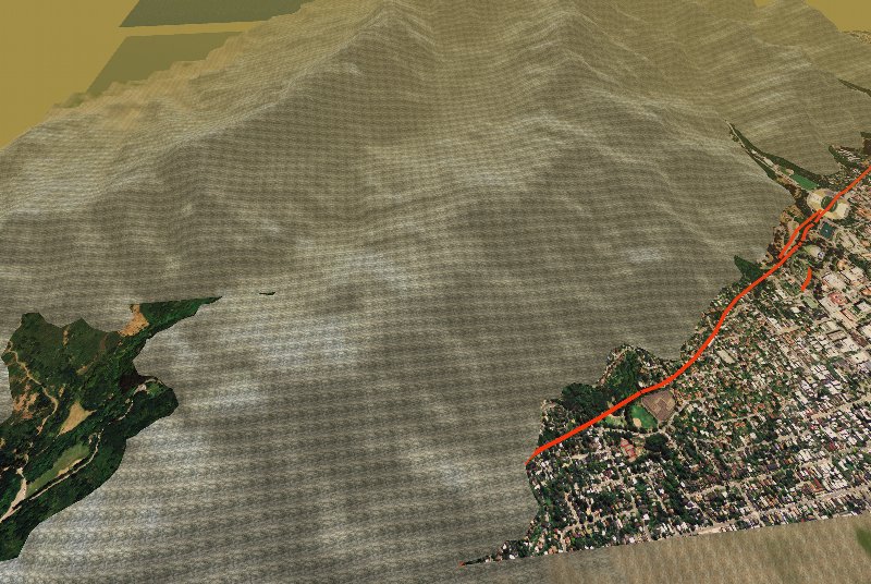
| 00:39, 18 April 2008 | Svn054 4272 20080417a.jpg (file) |  | 162 KB | Darb | (Windlight SL client viewing 40-region UC Berkeley 1.024 : 1 scale sim view toward LBNL ) | 1 |
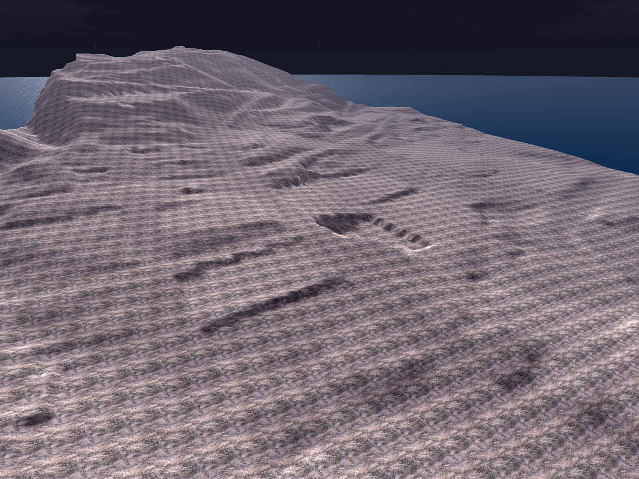
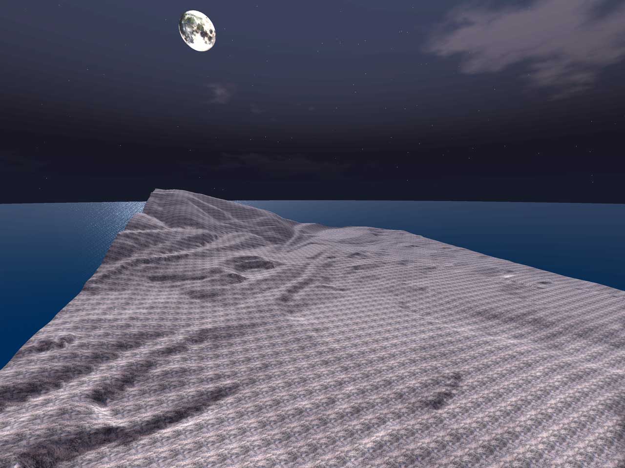
| 00:38, 18 April 2008 | Svn054 4272 20080417.jpg (file) |  | 178 KB | Darb | (Windlight SL client viewing 40-region UC Berkeley 1.024 : 1 scale sim by moonlight ) | 1 |
| 00:35, 18 April 2008 | Svn054 4272.jpg (file) |  | 141 KB | Darb | (40-region sim on this evening's trunk - UC Berkeley at (1.024 : 1) in X and Y) | 1 |
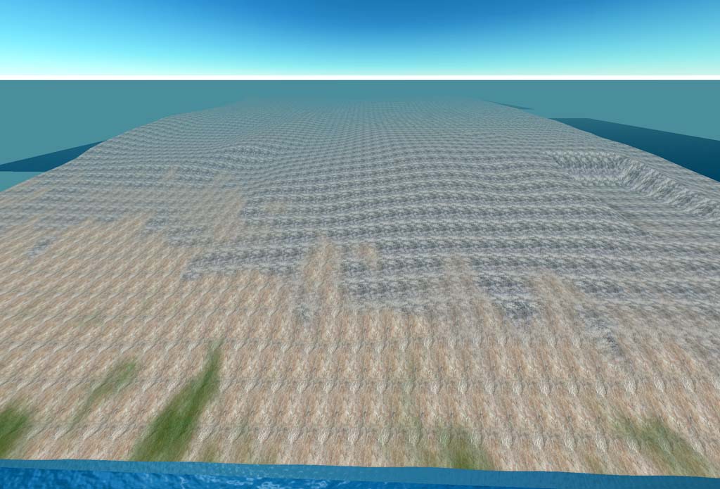
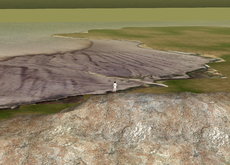
| 00:01, 27 March 2008 | Terrain vu Ely at Wly.jpg (file) |  | 119 KB | Darb | (This is an easterly view from along the westerly limit of the campus-wide terrain model. The new site excavation is visible on the right, and was available at better than 1-meter resolution from precise CAD drawings. The main campus area in mid-view and) | 1 |
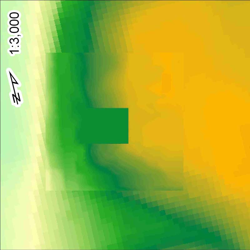
| 23:56, 26 March 2008 | Terrain merge 20080320.jpg (file) |  | 48 KB | Darb | (Not strictly a screen shot, this image represents the initial merge of site terrain at OpenSim-standard 1-meter grid postings, on top of 10-meter terrain commonly available for US sites from the US Geological Survey. The coarse 10-meter terrain makes uns) | 1 |
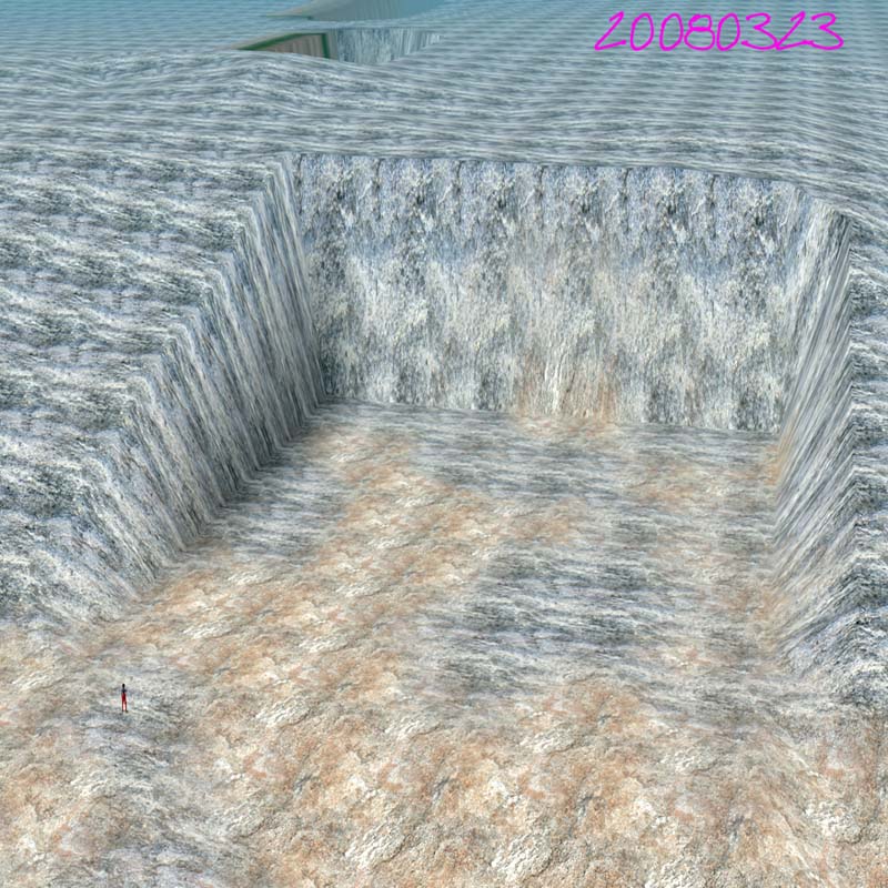
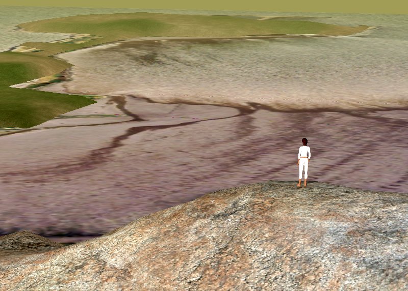
| 23:52, 26 March 2008 | Terrain 20080323a.jpg (file) |  | 172 KB | Darb | (Detail of a university campus construction site represented in OpenSim, based on a precise model derived from 3D CAD site grading plan. This plan was merged with regional data by defining a projection-based local grid system to represent the grid used by) | 1 |
| 02:52, 19 January 2008 | Berk81 20071203 002.jpg (file) |  | 313 KB | Darb | (One really should build this at 1:1 scale before going after each and every structure! Berkeley and Oakland, CA with California State Highway 24 on right, Claremont Boulevard to Claremont Canyon in right, and Telegraph Avenue toward University of Californ) | 1 |
| 02:48, 19 January 2008 | Berk81 20071203 001.jpg (file) |  | 233 KB | Darb | (Sunrise over Strawberry Canyon and the University of California Berkeley campus in this 81-sim model. NAIP 2005 orthoimagery, USGS DS-177 active trace of Hayward Fault slices through the California Memorial stadium at the base of the hills. 81-sim standa) | 1 |
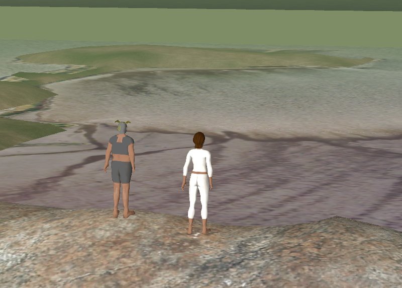
| 02:45, 19 January 2008 | Berk81 20071208 002.jpg (file) |  | 68 KB | Darb | (Truly, the OpenSim standards for Av sveltness do not apply to one's second Av. Two clients share WSWly view from Albany Hill toward Albany Bulb in San Francisco Bay. NAIP 2005 imagery, USGS/NGA 2003 terrain 81-sim standalone ) | 1 |
| 02:43, 19 January 2008 | Berk81 20071207 011.jpg (file) |  | 116 KB | Darb | (Sunset on Albany Hill, 1:4 scale model (visualize the "Attack of the 20-foot tall Woman") NAIP 2005 imagery in San Francisco Bay, USGS/NGA 2003 terrain 81-sim standalone ) | 1 |
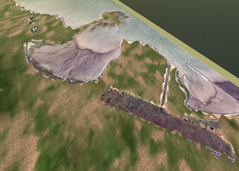
| 02:41, 19 January 2008 | Berk81 20071207 016.jpg (file) |  | 104 KB | Darb | (Aerial view of Albany CA Bulb, Richmond CA Annex, and wetlands near I-580 NAIP 2005 imagery, USGS/NGA 2003 terrain 81-sim standalone ) | 1 |
| 02:40, 19 January 2008 | Berk81 20071207 015.jpg (file) |  | 117 KB | Darb | (San Francisco Bay near Richmond CA, view of Second Life client artifacts on barrier island. NAIP 2005 imagery, USGS/NGA 2003 terrain 81-sim standalone ) | 1 |
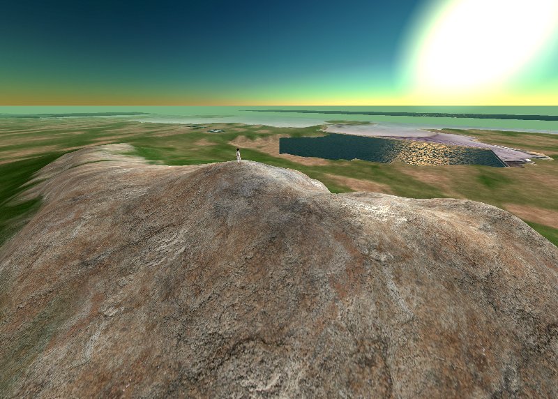
| 02:25, 19 January 2008 | Berk81 20071207 014.jpg (file) |  | 123 KB | Darb | (Av standing on 1:4 scale Albany Hill, view NWly toward Richmond (CA) Annex. Long shot showsing tidal flats in San Francisco Bay, NAIP 2005 imagery, USGS/NGA 2-meter terrain (2003) 81-sim standalone ) | 1 |
| 02:22, 19 January 2008 | Berk81 20071207 013.jpg (file) |  | 109 KB | Darb | (Avatar standing on 1:4 scale Albany Hill, long shot view toward Albany Bulb in San Francisco Bay, view WSWly. 81-sim standalone ) | 1 |
| 02:19, 19 January 2008 | Berk81 20071205 wildcat.jpg (file) |  | 141 KB | Darb | (Berkeley, CA hills and Wildcat Canyon, view SEly Terrain from USGS/NGA (2003) 2-meter postings. NAIP 2005 imagery with USGS DS0177 active Hayward Fault (2006) trace 81-sim standalone ) | 1 |
| 02:18, 19 January 2008 | Berk81 20071205 temescal.jpg (file) |  | 170 KB | Darb | (Berkeley and Oakland, CA - CA Highway 24 crossing the Hayward Fault. NAIP 2005 orthoimagery overlain with USGS DS-177 active Hayward Fault trace (2006) 81-sim standalone ) | 1 |
| 02:08, 19 January 2008 | Berk81 20071205 002.jpg (file) |  | 68 KB | Darb | (The Hayward Fault cuts through California Memorial Stadium on the UC Berkeley campus. NAIP 2005 imagery has been overlain with USGS DS-177 active Hayward Fault trace (2006) ) | 1 |
| 02:06, 19 January 2008 | Berk81 20071207 007.jpg (file) |  | 176 KB | Darb | (Beautiful sunrise over the Albany, CA bulb in San Francisco Bay 81-sim standalone ) | 1 |
| 01:57, 19 January 2008 | Berk81 20071207 003.jpg (file) |  | 83 KB | Darb | (Emeryville, CA marina in an 81-sim standalone ) | 1 |
| 01:49, 19 January 2008 | Berk81 20071207.jpg (file) |  | 70 KB | Darb | (Berkeley, CA marina, view NWly in an 81-sim standalone config. Runs on 1 GHz Coppermine (Celeron) with 1.5 GB memory / Ubuntu 7.10 / Mono / OpenSim 0.4 Orthoimagery is 2005 NAIP / terrain is USGS 2003) | 1 |
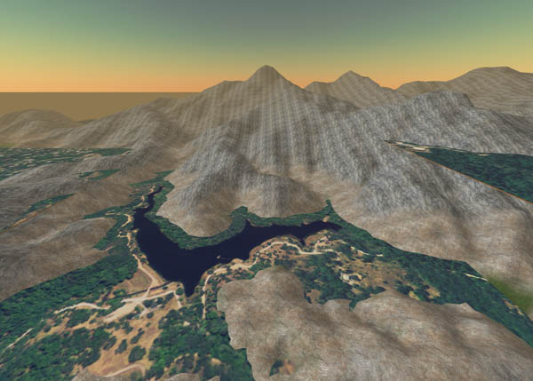
| 00:06, 30 October 2007 | Phoenix lake 20071029.jpg (file) |  | 65 KB | Darb | (View southerly of Phoenix Reservoir above Ross, California. Orthoimagery source: National Agricultural Imagery Program (2005) 1-meter natural color. Terrain Source NGA/USGS 2-meter model (2003). The NAIP imagery is textured onto a 256m square prim.) | 1 |
| 00:05, 30 October 2007 | Kentfield 20071029.jpg (file) |  | 74 KB | Darb | (View northerly of Kentfield and Greenbrae, California. Orthoimagery source: National Agricultural Imagery Program (2005) 1-meter natural color. Terrain Source NGA/USGS 2-meter model (2003). The NAIP imagery is textured onto a 256m square prim.) | 1 |
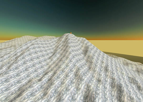
| 16:50, 28 October 2007 | Tam 49a 20071028 3.jpg (file) |  | 70 KB | Darb | (Standalone 49-region model, 1:4.5-scale terrain from Mt. Tamalpais in Marin County, California. 49 regions with no prims take 90s to stand up, and 3:45 to run terrain load-tile with the scaled RL terrain. Server is 1GHz Celeron, 1.5 GB memory, Ubuntu Gu) | 1 |
| 16:49, 28 October 2007 | Tam 49 20071028 2.jpg (file) |  | 55 KB | Darb | (Standalone 49-region model, 1:4.5-scale terrain from Mt. Tamalpais in Marin County, California. 49 regions with no prims take 90s to stand up, and 3:45 to run terrain load-tile with the scaled RL terrain. Server is 1GHz Celeron, 1.5 GB memory, Ubuntu Gu) | 1 |
| 16:49, 28 October 2007 | Tam 49 20071028 1.jpg (file) |  | 60 KB | Darb | (Standalone 49-region model, 1:4.5-scale terrain from Mt. Tamalpais in Marin County, California. 49 regions with no prims take 90s to stand up, and 3:45 to run terrain load-tile with the scaled RL terrain. Server is 1GHz Celeron, 1.5 GB memory, Ubuntu Gu) | 1 |
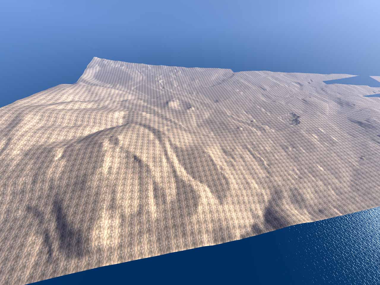
| 06:34, 25 October 2007 | Osim sunset 20071024.jpg (file) |  | 78 KB | Darb | (This is a 1/4-scale model of real-life Strawberry Canyon, above the UC Berkeley campus. A terrain model from the US Geological Survey with values posted on a 2-meter grid was subsampled to 4-meter postings, exported as IEEE float 32, rotated 90 degrees c) | 1 |
