File:Terrain 20080323a.jpg
From OpenSimulator
Size of this preview: 600 × 600 pixels.
Full resolution (800 × 800 pixels, file size: 172 KB, MIME type: image/jpeg)
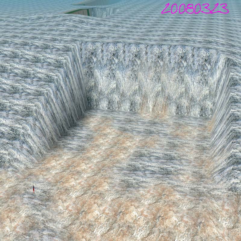
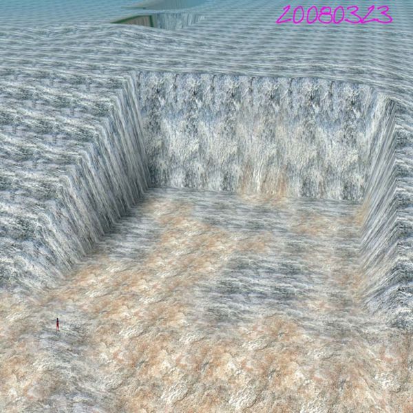
Detail of a university campus construction site represented in OpenSim, based on a precise model derived from 3D CAD site grading plan. This plan was merged with regional data by defining a projection-based local grid system to represent the grid used by the CAD designers when creating the grading plan.
File history
Click on a date/time to view the file as it appeared at that time.
| Date/Time | Thumbnail | Dimensions | User | Comment | |
|---|---|---|---|---|---|
| current | 23:52, 26 March 2008 | | 800 × 800 (172 KB) | Darb (Talk | contribs) | Detail of a university campus construction site represented in OpenSim, based on a precise model derived from 3D CAD site grading plan. This plan was merged with regional data by defining a projection-based local grid system to represent the grid used by |
- Edit this file using an external application (See the setup instructions for more information)
File usage
There are no pages that link to this file.
