File:Terrain vu Ely at Wly.jpg
From OpenSimulator
Size of this preview: 800 × 543 pixels.
Full resolution (1,024 × 695 pixels, file size: 119 KB, MIME type: image/jpeg)
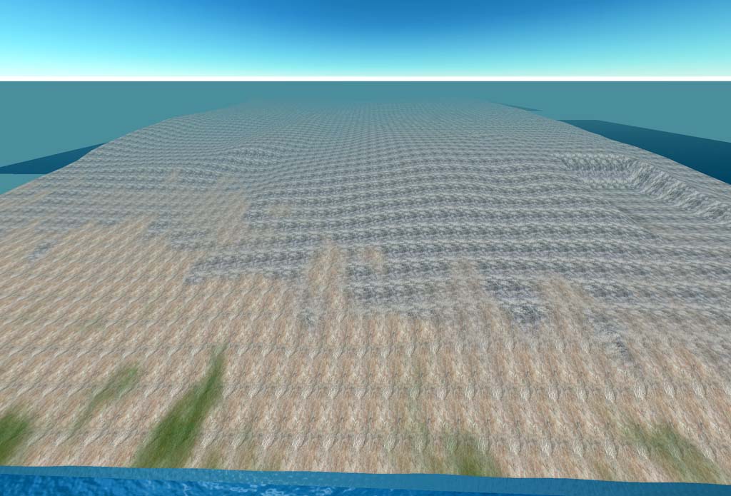
This is an easterly view from along the westerly limit of the campus-wide terrain model. The new site excavation is visible on the right, and was available at better than 1-meter resolution from precise CAD drawings. The main campus area in mid-view and along the left is derived from regional DEM data publicly available at http://seamless.usgs.gov for most of the US. These regional DEM 10-meter data were projected into a local coordinate system that was rotated 14 degrees relative to the UTM grid at the campus, then modified using ERDAS Imagine focal analysis with a 7x7 kernel and mean filtering.
File history
Click on a date/time to view the file as it appeared at that time.
| Date/Time | Thumbnail | Dimensions | User | Comment | |
|---|---|---|---|---|---|
| current | 00:01, 27 March 2008 | | 1,024 × 695 (119 KB) | Darb (Talk | contribs) | This is an easterly view from along the westerly limit of the campus-wide terrain model. The new site excavation is visible on the right, and was available at better than 1-meter resolution from precise CAD drawings. The main campus area in mid-view and |
- Edit this file using an external application (See the setup instructions for more information)
File usage
There are no pages that link to this file.
